
Plan Nature-based Solutions and ecosystem reconstruction with confidence
Navigator
Navigator
Navigator is an interactive GIS product designed to help you identify where ecosystem reconstruction (bring native ecosystem back from scratch) could create the greatest impact - based on your selected preferences.
Ecosystem reconstruction can be an effective Nature-based Solution.
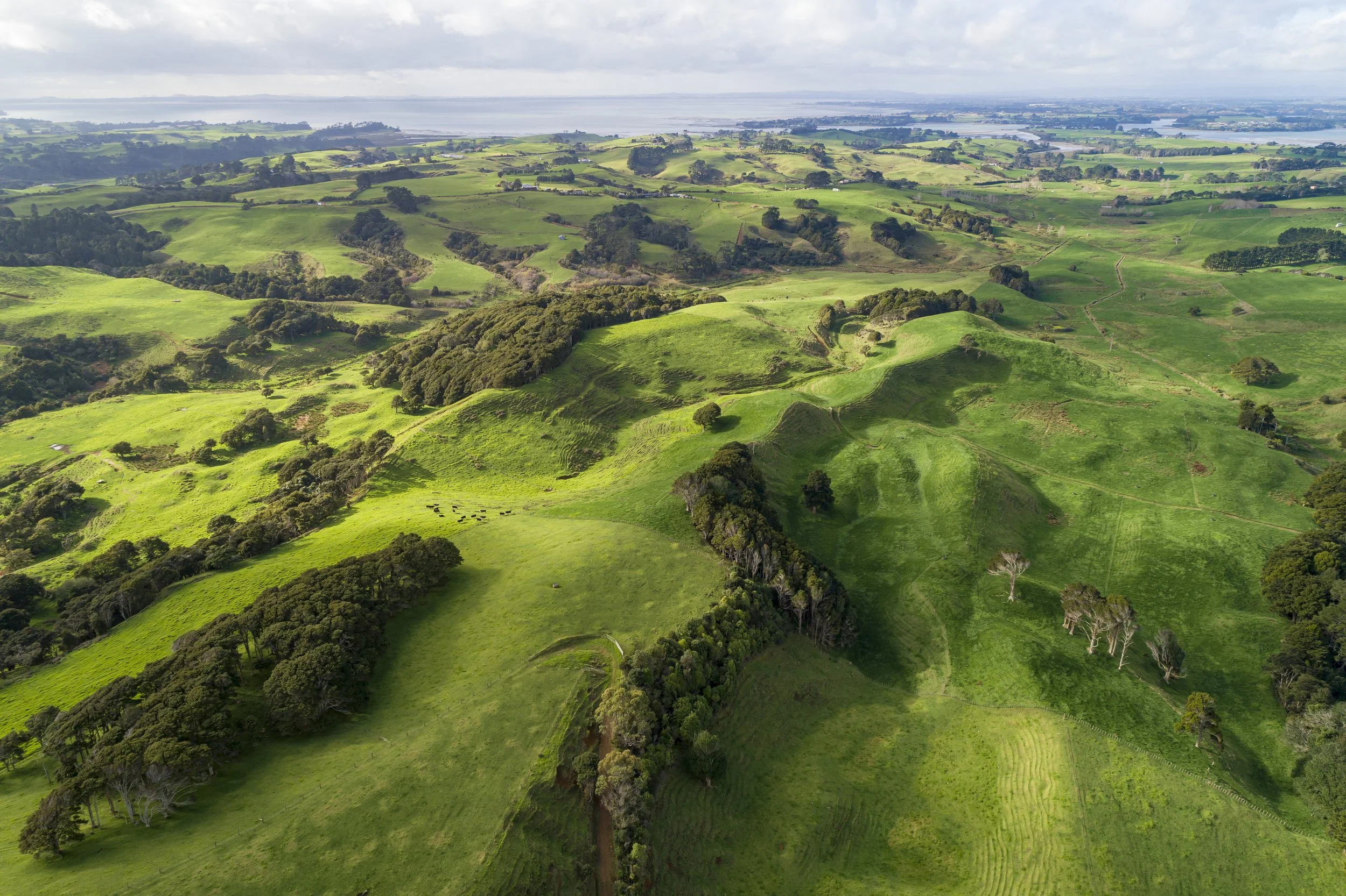
Nature-based Solutions are actions to address societal challenges through the protection, sustainable management and restoration of ecosystems, including the reconstruction of ecosystems that have been lost. Building ecosystem cover into your landscape creates resilience and can protect against costly events like drought and flooding. Read more about the benefits of NbS.
Navigator identifies the best locations for reconstructing native ecosystems by providing ten Prioritisation Options. One or all of these can be selected to create a heat map where the best bang-for-buck locations are shown with bright colours. Navigator can be customised by the user to include additional spatial layers such as flood mapping.
Navigator X
Navigator X is a 3D, browser-based companion to Navigator that delivers the brilliance of GIS into the hands of everyday users.
No need for GIS skills or software, Navigator X empowers you to explore and customise mapping in your own landscape.
Navigator X presents a heat map of potential locations for ecosystem reconstruction overtop 3D satellite imagery, but does not have the analytical power of Navigator.
Great for landscape-scale projects, Navigator X can pinpoint the best bang-for-buck places that will benefit from collaborative nature investments.
Explore the free & open Navigator X for Waitaha / Canterbury
Navigator
GIS product - requires GIS skills to operate
2D
Provides analytical options
Can be integrated with your existing GIS setup
Customisable heat-map approach, based on your own priorities
Excellent for planning ecosystem reconstruction as a nature-based solution
Navigator X
Online product - no GIS skills needed
2D & 3D
No analytical options
Great for sharing, collaborating and communicating
Customisable heat-map approach, based on your own priorities
Excellent for planning ecosystem reconstruction as a nature-based solution
How does Navigator work?
Navigator identifies the best locations for ecosystem reconstruction by providing Prioritisation Options. One or all of these can be selected to create a heat map where the best bang-for-buck locations are shown with bright colours. Navigator can be customised with additional spatial layers such as flooding hazard data.
Navigator works by scoring each 10 x 10 m area within an area of interest (e.g., a catchment) for each Prioritisation Option. Areas with the highest summed score indicate the best bang-for-buck locations for ecosystem reconstruction and show up brightly on the Navigator map.
Navigator Prioritisation Options
-
Priority is given to areas where reconstruction will create a stepping stone to improve ecosystem connectivity between existing native ecosystems. Ecosystem connectivity is important to allow species migration.
-
Priority is given to reconstruction areas that will contribute towards the goal of 15% cover of each native ecosystem type in each catchment. See Eco-index 15% rationale.
-
Priority is given to areas that are most susceptible to landslides according to the Highly Erodible Land database.
-
Reconstruction in areas that are already legally protected will save on legal costs and provide greater assurance that the work will be protected.
-
Priority is given to areas that are close to existing native vegetation. Existing vegetation can benefit ecosystem reconstruction projects by providing flora and fauna to help establish a desirable native ecosystem type.
-
Priority is given to areas that round out existing native vegetation patches. These areas have the potential to reduce edge effects and therefore help to stabilise the internal climate and habitat for flora and fauna.
-
Priority is given to areas that could protect a Department of Conservation Ecosystem Management Unit, DOC Reserve or QEII covenant.
-
Priority is given to areas that are likely to have relatively low land purchase costs and/or lower economic opportunity costs to retire for ecosystem reconstruction.
-
Priority is given to areas that are within 30 metres of the centreline of a river. This maximises benefits towards smaller waterways as they have the greatest potential for downstream benefits and in-stream shade when protected by riparian buffer planting.
-
Based on the Threatened Environment Classifications. Priority is given to the most threatened environments.