
Eco-index is now closed
All of our GIS layers and code are now open access - CC BY 4.0.
You can find everything you need to access and use them, including technical info on this website.
Watch our final webinar to learn about our products, what they can do, and how you can use them:
Download pdf of powerpoint slides
Questions & feedback from our final webinar:
-
No, unfortunately there data required to make national datasets on ecosystem health were not available in our development stages. Therefore, our products focus on reconstruction of missing ecosystems rather than restoration of existing ecosystems.
-
The smallest area that we have validated to was 1 hectare in size for consistency at scale. The smallest size really depends on the resolution of the imagery going in though so this could be improved with higher resolution imagery.
-
Yes, this is possible. The mature native forest detection model is trained on Planet satellite imagery and the MVP regeneration detection model is trained on Google Earth imagery, but a new model could be built and trained on LINZ.
-
For use of entire Eco-index products:
“‘Product name’ by Eco-index is licensed under CC BY.”
For derivatives of Eco-index products:
“This work is a derivative of ‘product name’ by Eco-index, used under CC BY.” -
Incredible amount of work and resources!! thank you
Thank you for generously sharing these resources. Will be highly valuable to those not already using them I'm sure!
The catchment layer has been useful already! Looking forward to exploring more of it
Thanks for all your work and efforts, and the ethos behind it. Everything in this space always feels like a very long game, so I think viewing it as passing the torch for the next leg (rather than ending) is exactly the way to think. It’s pretty rare that any organisation lasts forever, better to measure success in the legacy you leave - you guys should be really proud of everything you’ve built, thank you!
Thank you so much - we now need to continue to champion your fantastic mahi. I am looking forward to the possibilities, including in policy implementation. The tools you have made are phenomenal. And now open source, again, thank you so much. Thank you.
Thanks so much for all your work folks. Appreciate it all being open sourced.
Thanks Eco-Index team, this is wonderful, all the best for your next ventures.
Ka rawe koutou - thank you for the amazing work that you have done
Thanks for the sharing ... it has been honest and inspiring too.
There is huge benefit in using the outputs from your work in the next steps involved in nature reporting and state of nature. Thanks again
Great work eco-index team. We hope that these valuables resources continue to be used.
This has been a fantastic initiative, thank you for making this available for the year ahead. Great work everyone!!
Thank you EcoIndex and amazing team for doing such important work and leaving a legacy
Really appreciate your amazing work.
Wehi nā, ngā mihi nui
All Eco-index GIS layers and code are open access and free to download under a
Creative Commons Attribution 4.0 International licence (CC BY 4.0).
Example attributions under CC BY 4.0:
Entire Eco-index product: “‘Navigator’ by Eco-index, is licensed under CC BY”
Derivative of Eco-index product: “This work is a derivative of ‘Navigator’ by Eco-index, used under CC BY.”
Browse GIS layers
Browse Code
Open access content by product
Digital Product Guide provides product descriptions
Product Deep Dive provides technical information
-
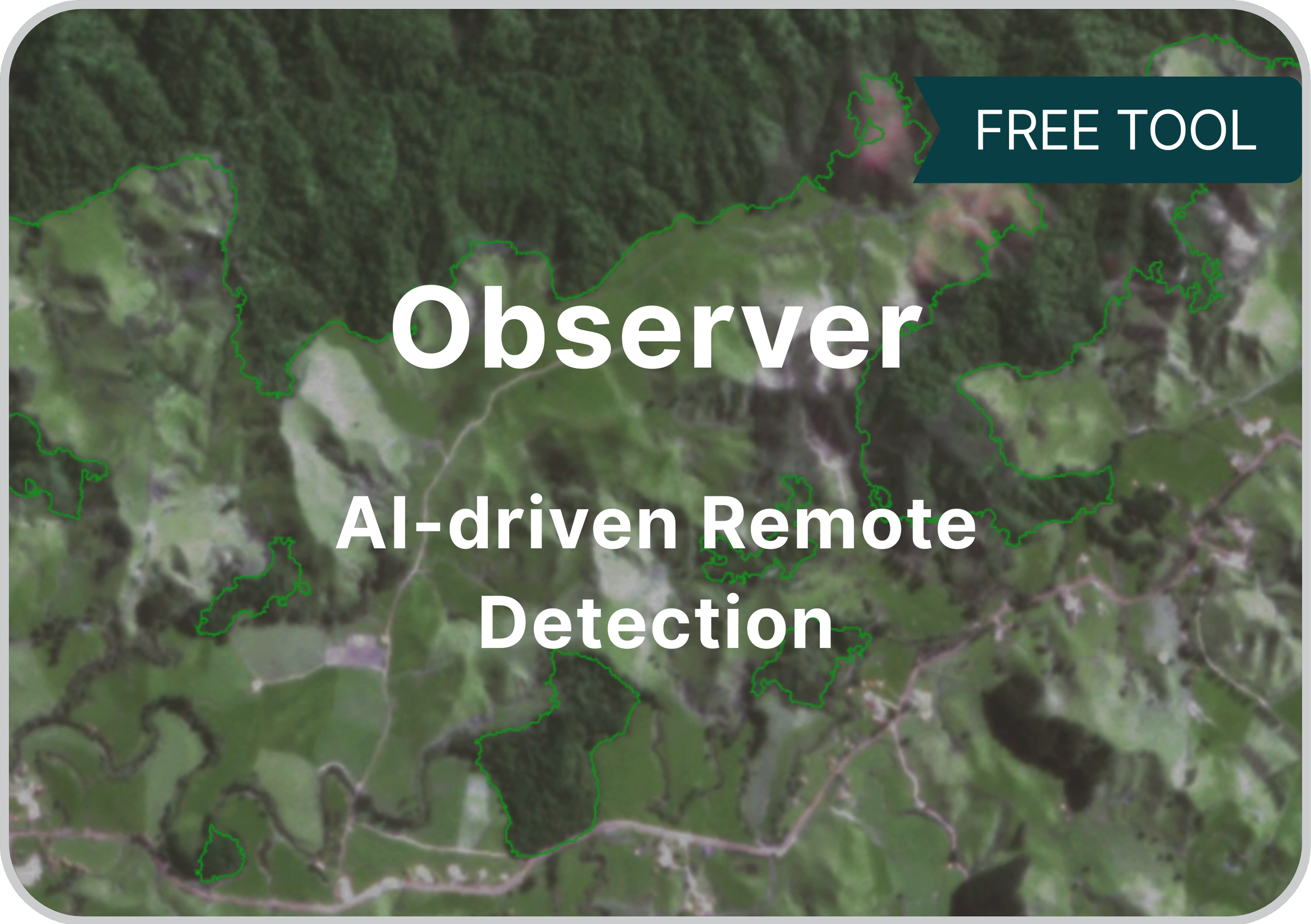
Two AI-trained models for remote detection of vegetation in Aotearoa New Zealand.
1. Mature native forest detection: using Planet satellite imagery. Ready-to-run but does require human validation of results. Works best at catchment scale.
2. MVP regeneration detection: minimal viable product that detects young vegetation on Google Earth imagery, further R&D required.
Download:
Observer code from GitHub
MVP Regeneration Detector Report -
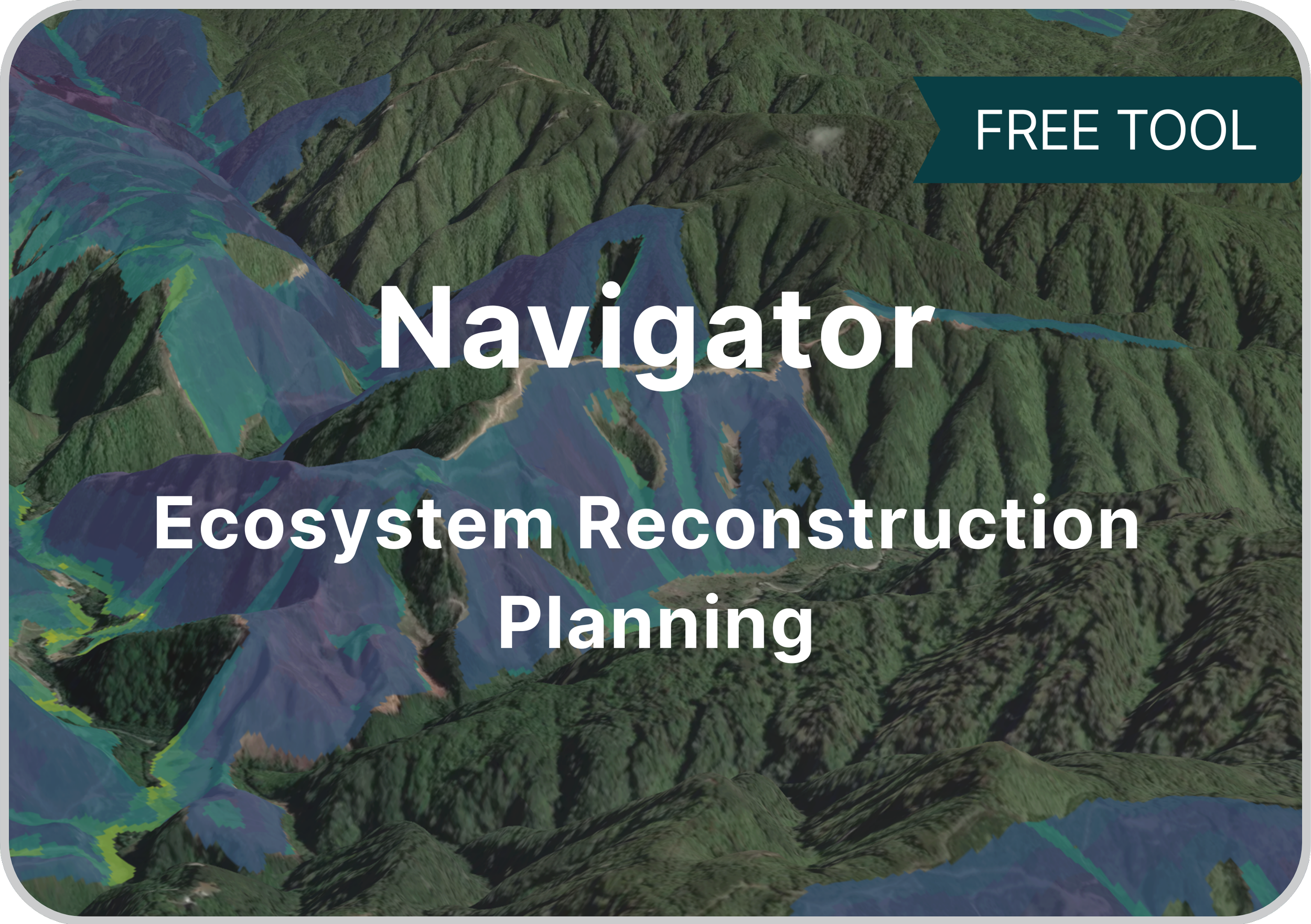
Navigator (GIS) and Navigator X (browser-based) are mapping tools that help to locate the best places for reconstructing native ecosystems from scratch.
They utilise a heat-mapping approach and allow you to choose priorities (data layers) that align with your project goals. Navigator & Navigator X provide a robust, data-driven framework that could be adopted and applied to planning many kinds of environmental projects.
More about Navigator + Explore Navigator X for Waitaha / CanterburyDownload:
Navigator GIS from Koordinates (layers A01-A10)
Navigator GIS Engine from GitHub
Navigator X Engine from GitHub -
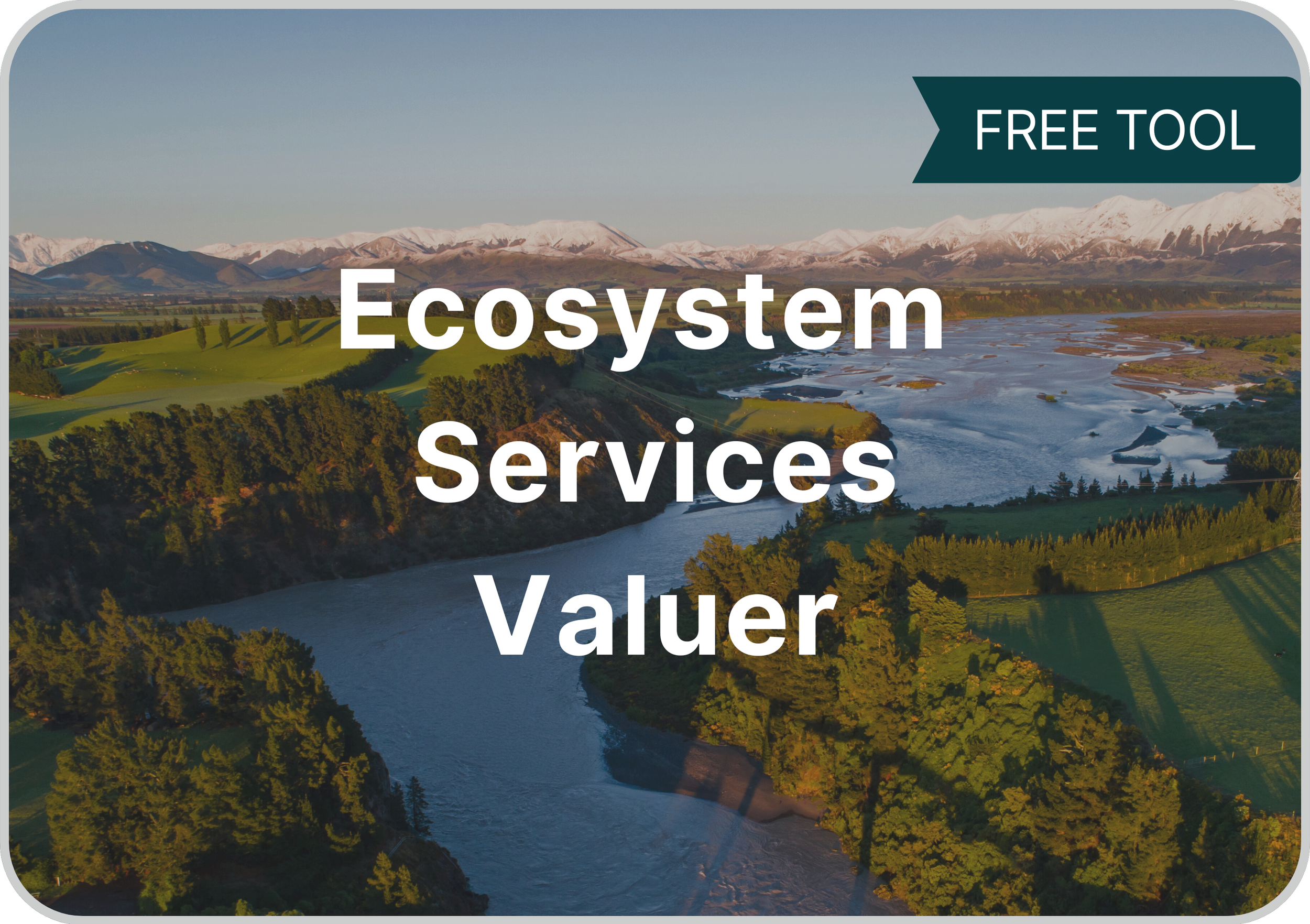
Provides $NZD valuations for 23 possible ecosystem services from 33 different native ecosystems. Excellent for estimating and communicating the value of nature and improving the integrity of cost:benefit analyses.
Available for existing native ecosystems (source: LCDB v5) and those you’re considering reconstructing (source: potential natural vegetation map + wetlands).
More about Ecosystem Services Valuer.
Download:
Ecosystem Services Valuer for existing areas - GIS layers from Koordinates
Ecosystem Services Valuer for reconstruction areas - GIS layers from Koordinates
Ecosystem Services Valuer code from GitHub -
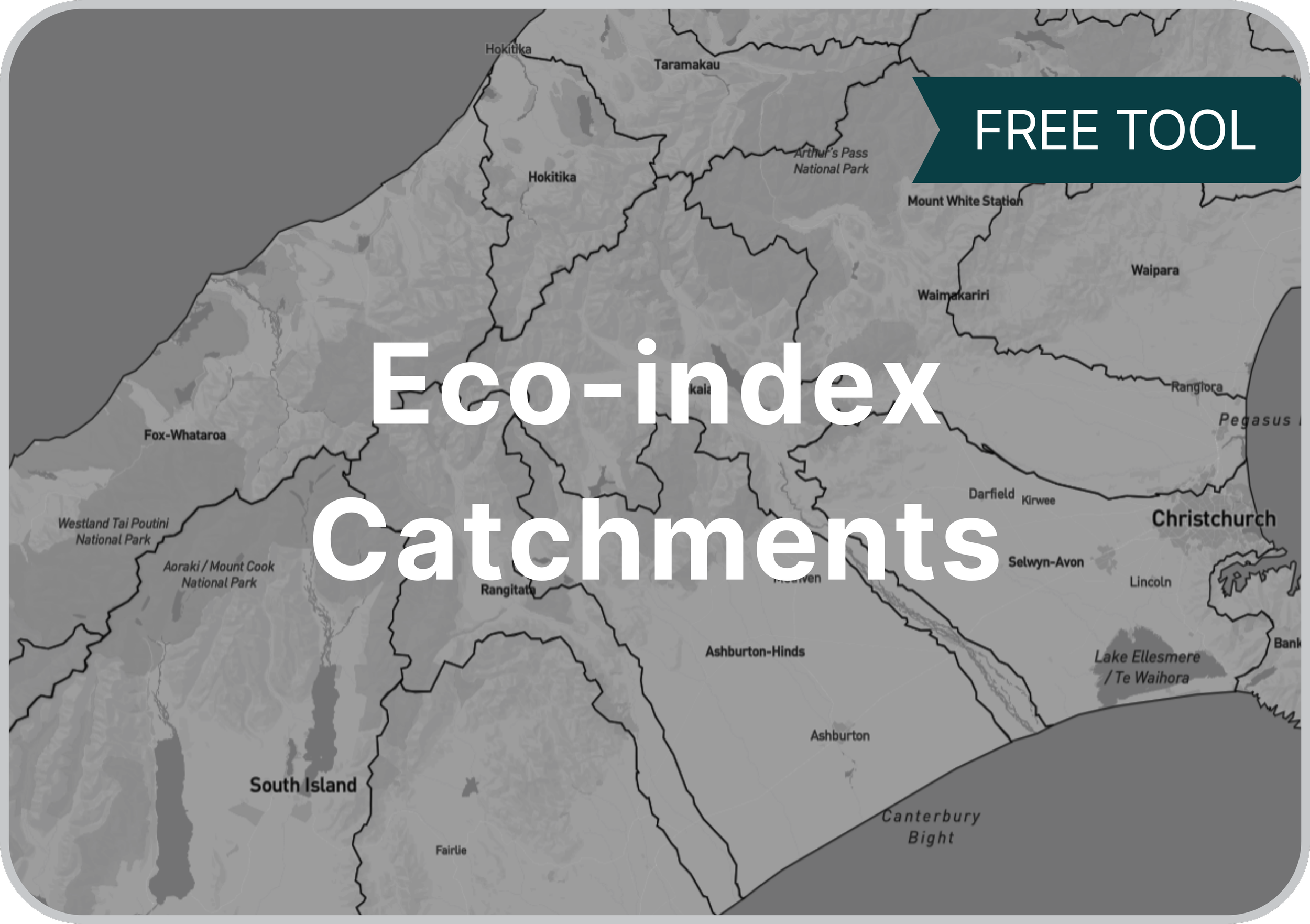
Tidy, pragmatic sea-draining catchments layer.
Developed from the catchment layer out of the Freshwater Ecosystem of NZ catchment layer (hosted by MfE). We improved and simplified the boundaries for real-life applications.
96 catchments total, including some offshore islands. Included with Navigator.
-
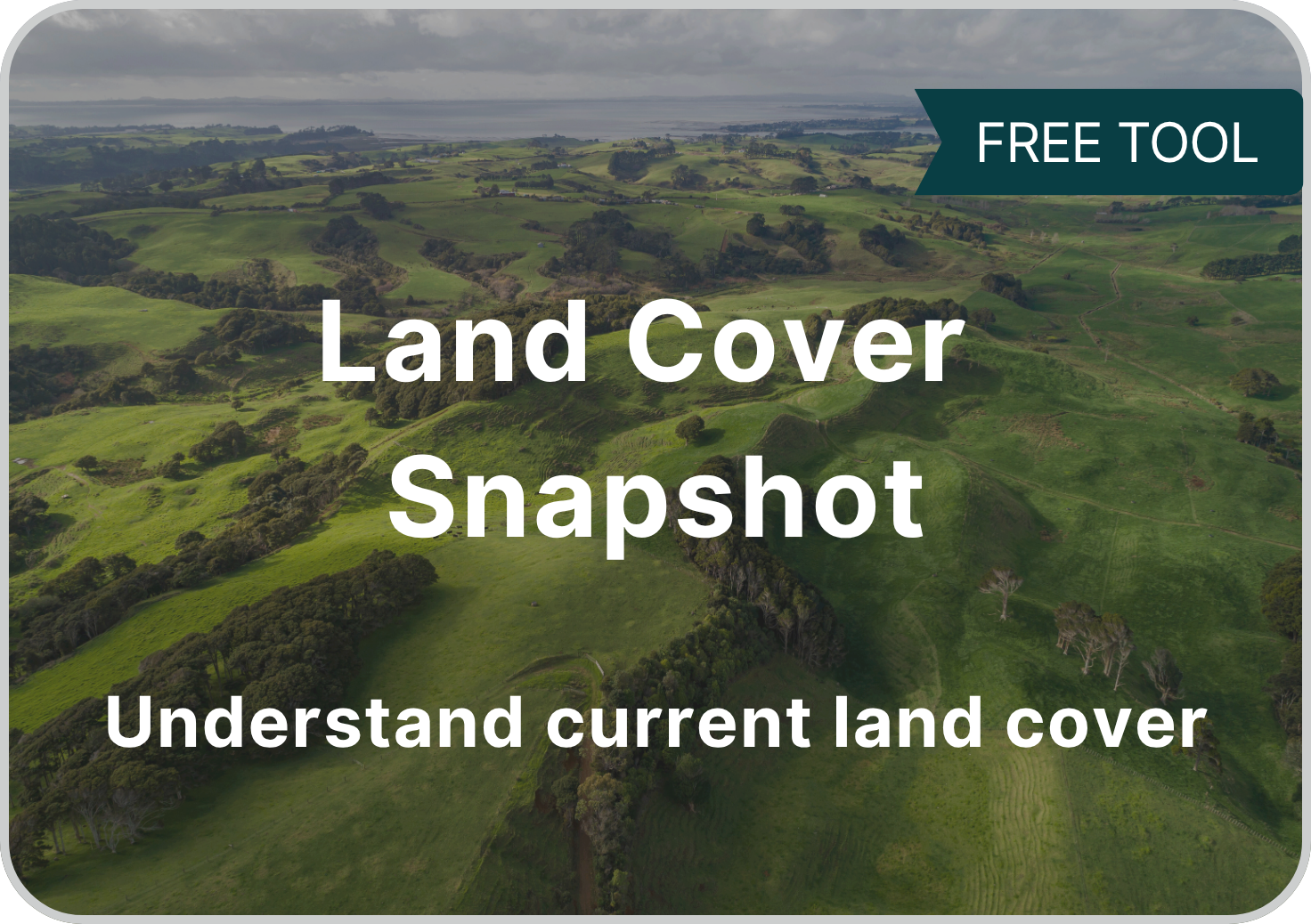
Land Cover Snapshot includes:
- mature ecosystems
- regenerating ecosystems
- reconstruction opportunity (areas where reconstruction of native ecosystems is possible)
- built-up & transport areas
Derived from LCDB v.5, it helps users to understand high-level land cover patternsIncluded with Navigator
Download:
Land Cover Snapshot from Koordinates -

For native biodiversity to thrive, we recommend that every native ecosystem in every catchment needs to cover at least 15% of it’s original land cover.
Once ecosystem cover drops below 15%, species loss speeds up dramatically and biodiversity management becomes very resource intensive. Read our full rationale for this 15% goal here.
The Ecosystem 15% Cover Goal layer shows areas that sit below the 15% goal.
The Ecosystem Reconstruction Map provides specific targets for reconstruction of each native ecosystem, in every catchment, to reach this 15% goal.
Included with Navigator.
-
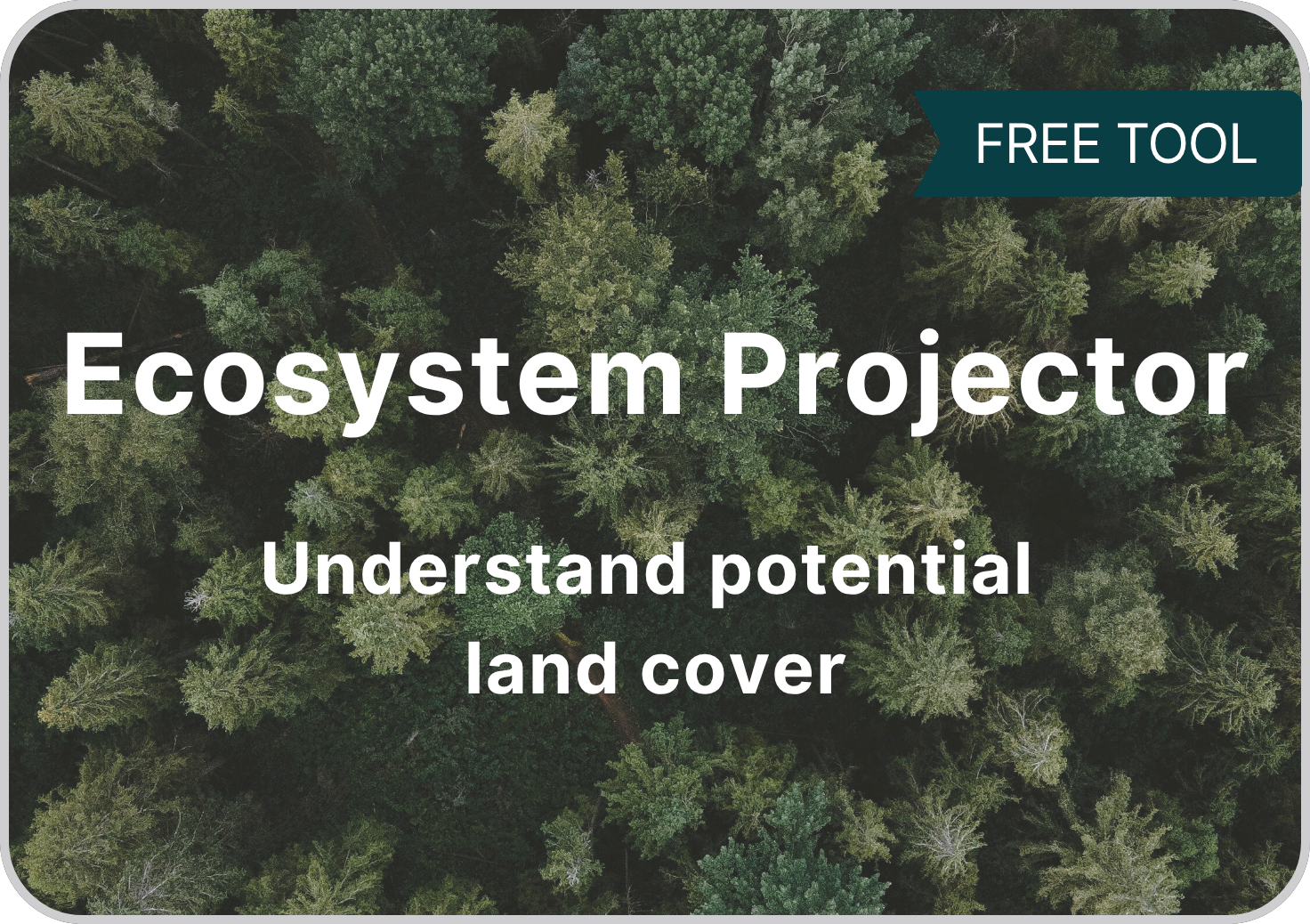
Indicates which and where native ecosystems are suitable for reconstruction at a landscape scale.
Answers the question: which ecosystems should I reconstruct in my area?
Built from the Potential Natural Vegetation of NZ map with improved delineation of different wetland types.
We recommend also consulting local experts to understand fine-scale patterns.
Included with Navigator. Can also be explored in the Ecosystem Reconstruction Map – with additional detail about each ecosystem type.
Read about development of the Ecosystem Projector in this report.
Download:
Ecosystem Projector from Koordinates -
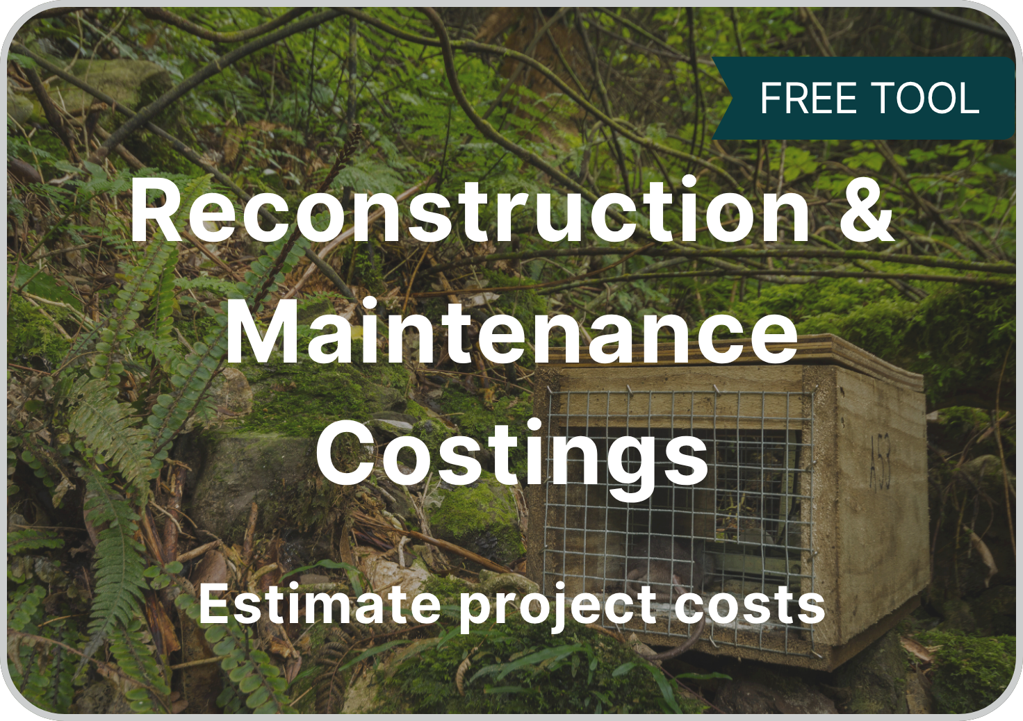
Reconstruction Costings helps users cost up different ecosystem reconstruction scenarios at a high level.
Provides one-time costs on a per-ha basis:
- Initial plantings
- Early care of plantings (first 3 years
- Fencing (select by area size and shape)
Maintenance Costings helps users cost up maintenance activities for existing ecosystems or those planned for reconstructionProvides average costs on per-ha basis:
- Fence maintenance
- Non-native plant species management
- Non-native animal species managementDownload:
Reconstruction Costings GIS layer from Koordinates
Maintenance Costings GIS layer from Koordinates
Reconstruction & Maintenance Costings code from GitHub -
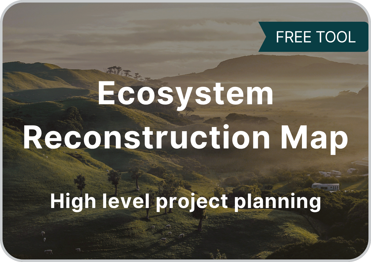
Live: Ecosystem Reconstruction Map
Visualises national datasets including:
- Ecosystem reconstruction priority levels and targets (based on 15% cover)
- Projected native ecosystems and corresponding information
- Estimated reconstructions costs (catchment scale)Great for understanding catchment scale patterns & priorities.
Also available at Tūhono Taiao (priorities & costs only).
-
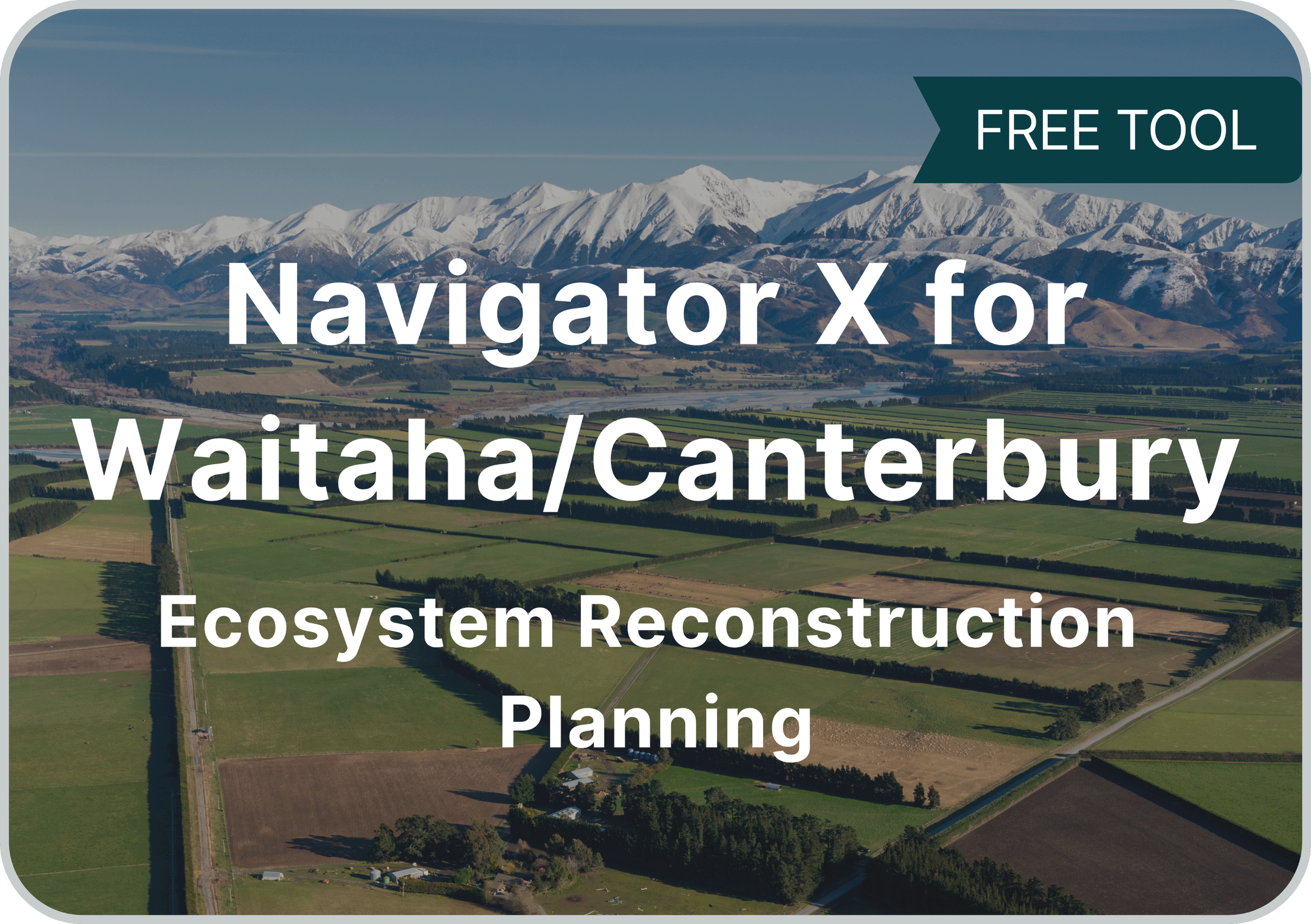
Live: Navigator X for Waitaha / Canterbury
2D & 3D ecosystem reconstruction prioritisation map for Waitaha / Canterbury.
Presented as a heat map where the brightest colours show the best bang-for-buck reconstruction options and prioritisation options that can be toggled on or off.
Contextual information is provided to help with interpretation, including Land Cover Snapshot and Ecosystem Projector.
Product descriptions are available in our Digital Product Guide.
Technical specifications & methods are available in our Product Deep Dive.
This website will remain live until March 2027.
Our Koordinates account (for GIS downloads) will remain live until March 2027.
Our GitHub account (code downloads) will remain live indefinitely.
Need help using our products?
Available Independent Contractors:
Kevan Côté - Data Science
Corey Ruha - Data Science, Indigenous Environmental Research & Solutions
Karen Denyer - Ecology
Catherine Kirby - Science Communication & Ecology