

Explore the full range of Eco-index products. We are committed to the Digital Public Good movement and currently provide seven free digital tools.
Technical specifications are available in our Product Deep Dive.
All Products
-
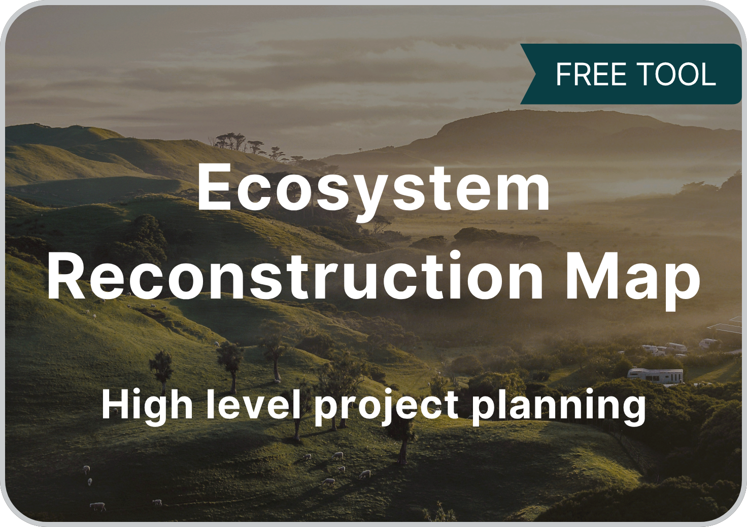
Data-driven ecosystem reconstruction mapping tool
-
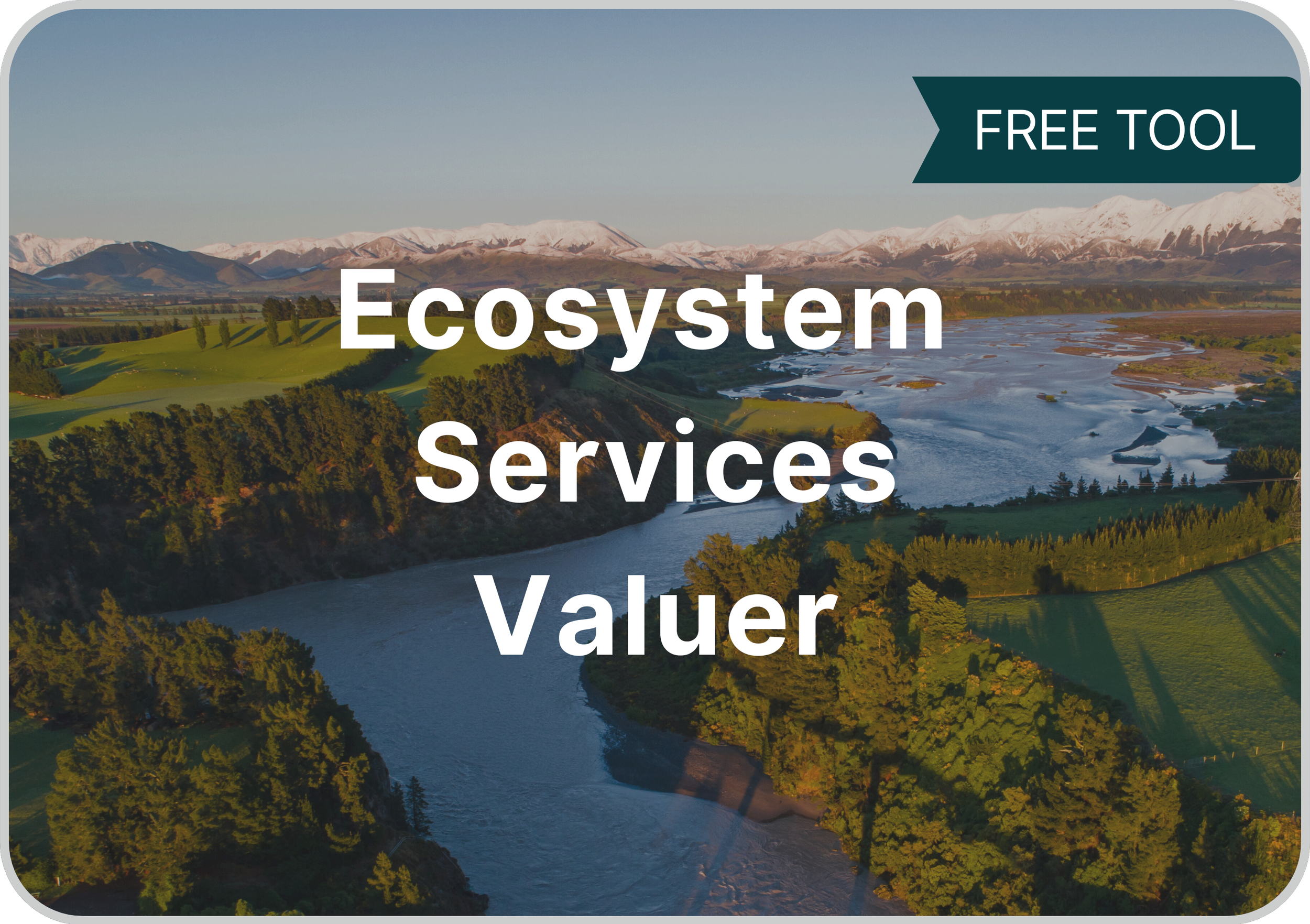
Estimate & communicate the value of nature for more informed decisions
-
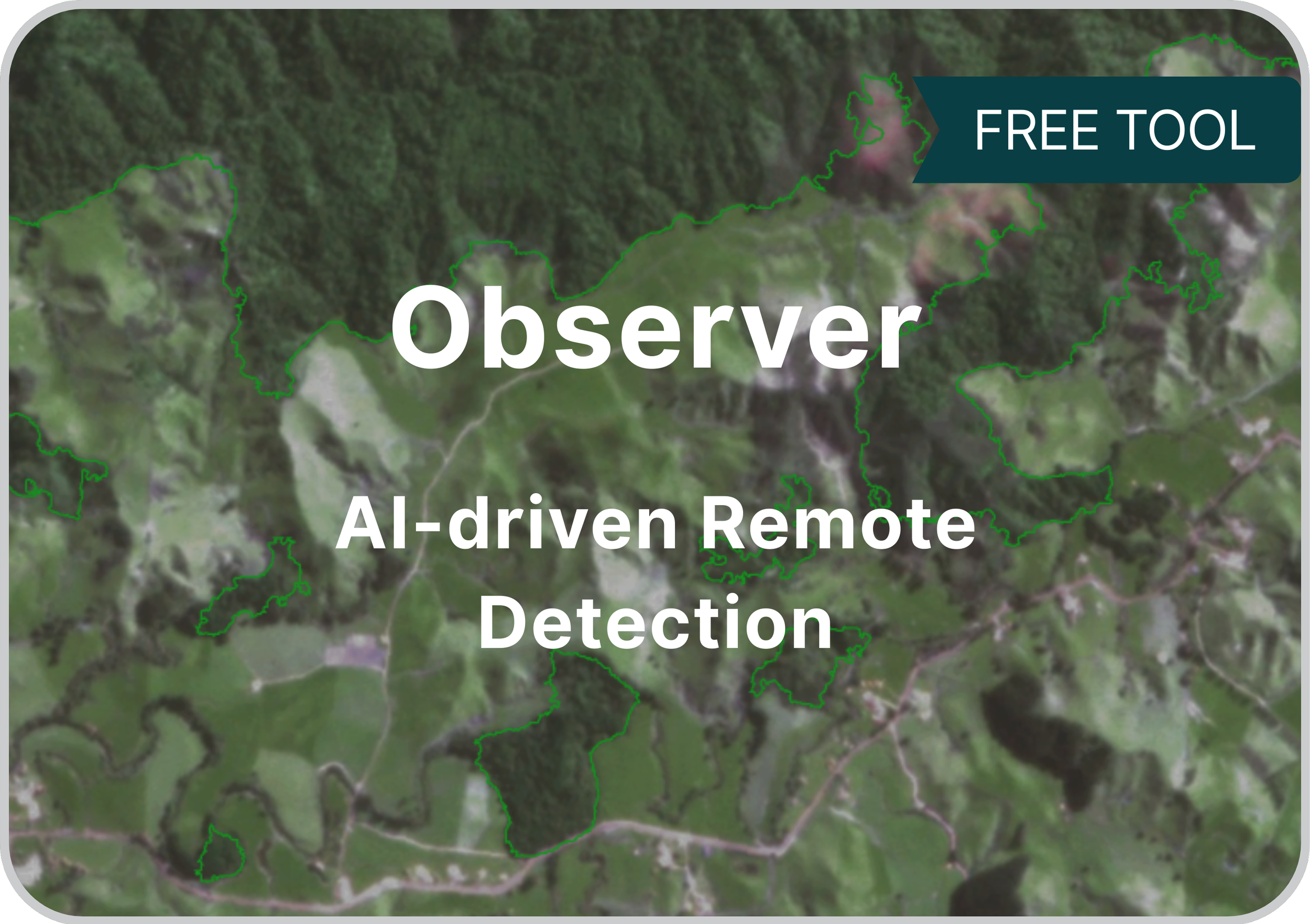
Remote detection of vegetation using satellite imagery
-
National-level data to support ecological restoration education & planning
-
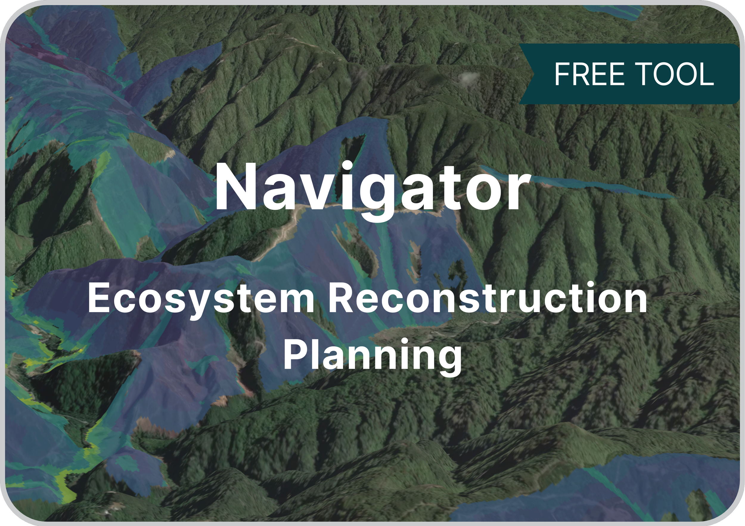
Find the best bang-for-buck locations for ecosystem reconstruction in Waitaha
-
Explore current key land cover categories, based on LCDB v5.0
-
Find out which local native ecosystems are suitable for reconstruction
-
Gain clarity on the costs of ecosystem reconstruction and maintenance
-
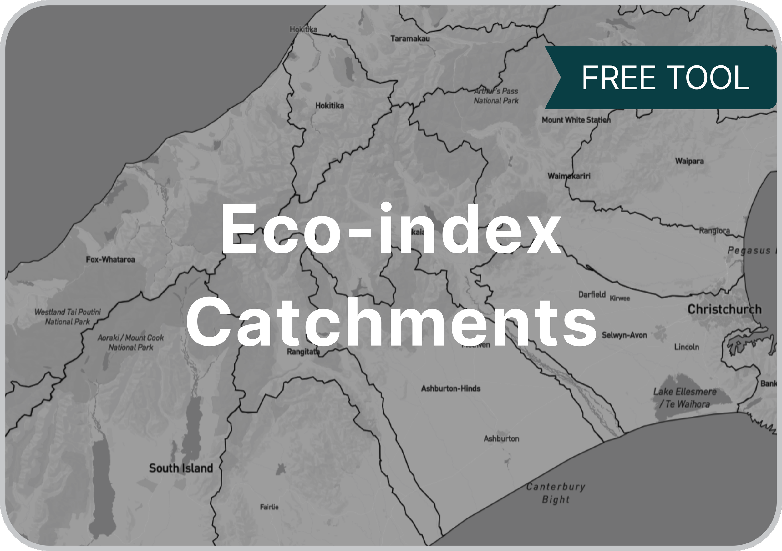
A clean, pragmatic catchment layer, based on MfE data
-
-

Discover which catchments are below 15% native ecosystem cover