
All of our GIS layers and code are open access and free to download under a Creative Commons Attribution 4.0 International licence (CC BY 4.0).
Example attribution under CC BY 4.0:
“This work is a derivative of ‘Navigator’ by Eco-index, used under CC BY.”
Browse GIS layers
Browse Code
Eco-index is now closed
Make it stand out.
Don’t worry about sounding professional. Sound like you. There are over 1.5 billion websites out there, but your story is what’s going to separate this one from the rest. If you read the words back and don’t hear your own voice in your head, that’s a good sign you still have more work to do.
Text here
-
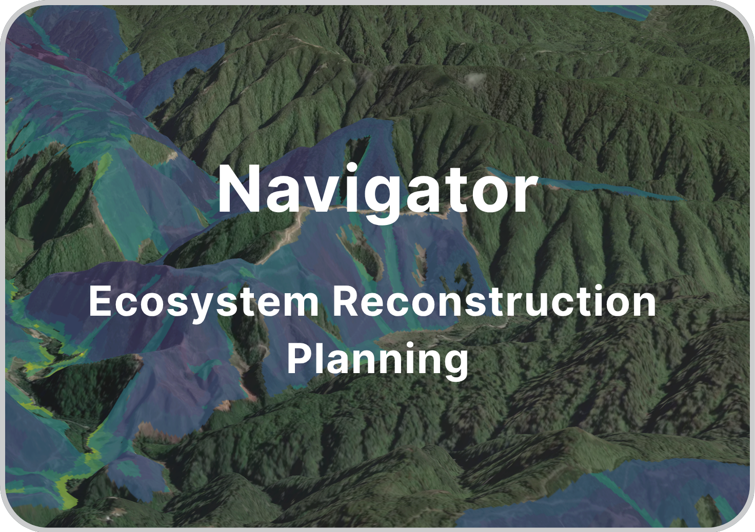
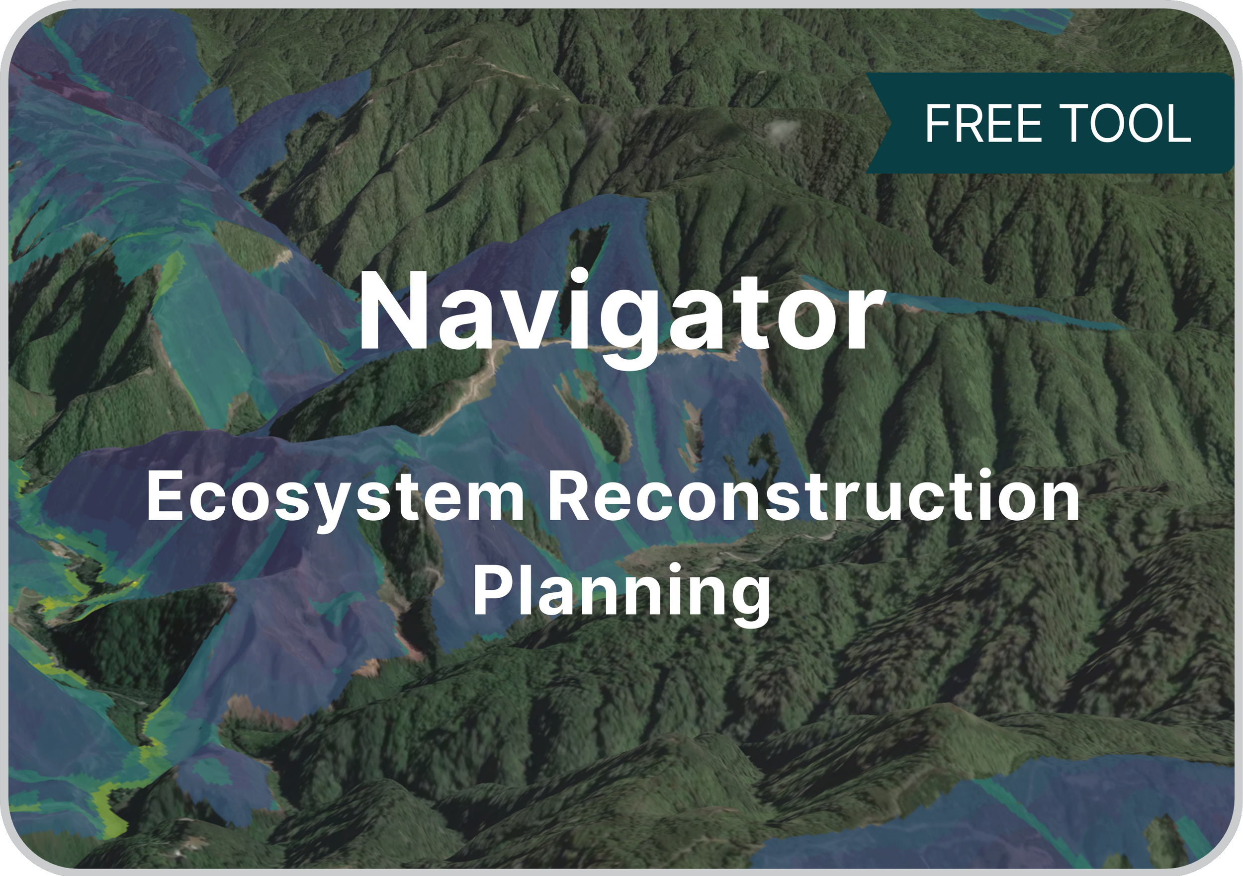
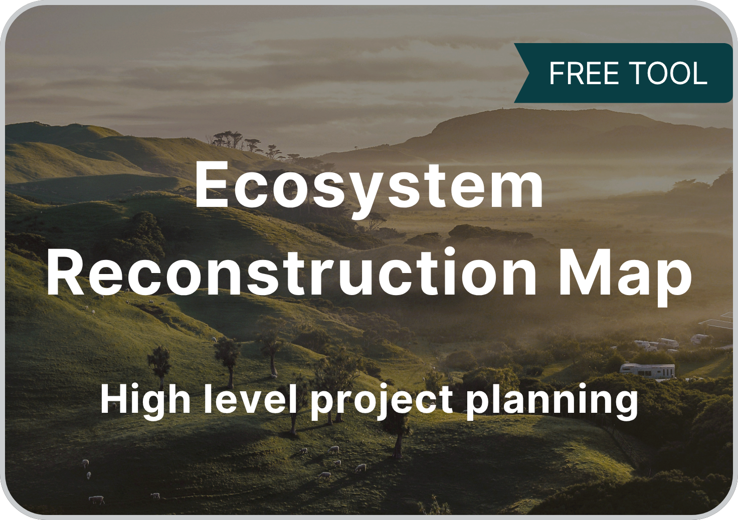
Locate the best bang-for-buck locations to reconstruct native ecosystems
-

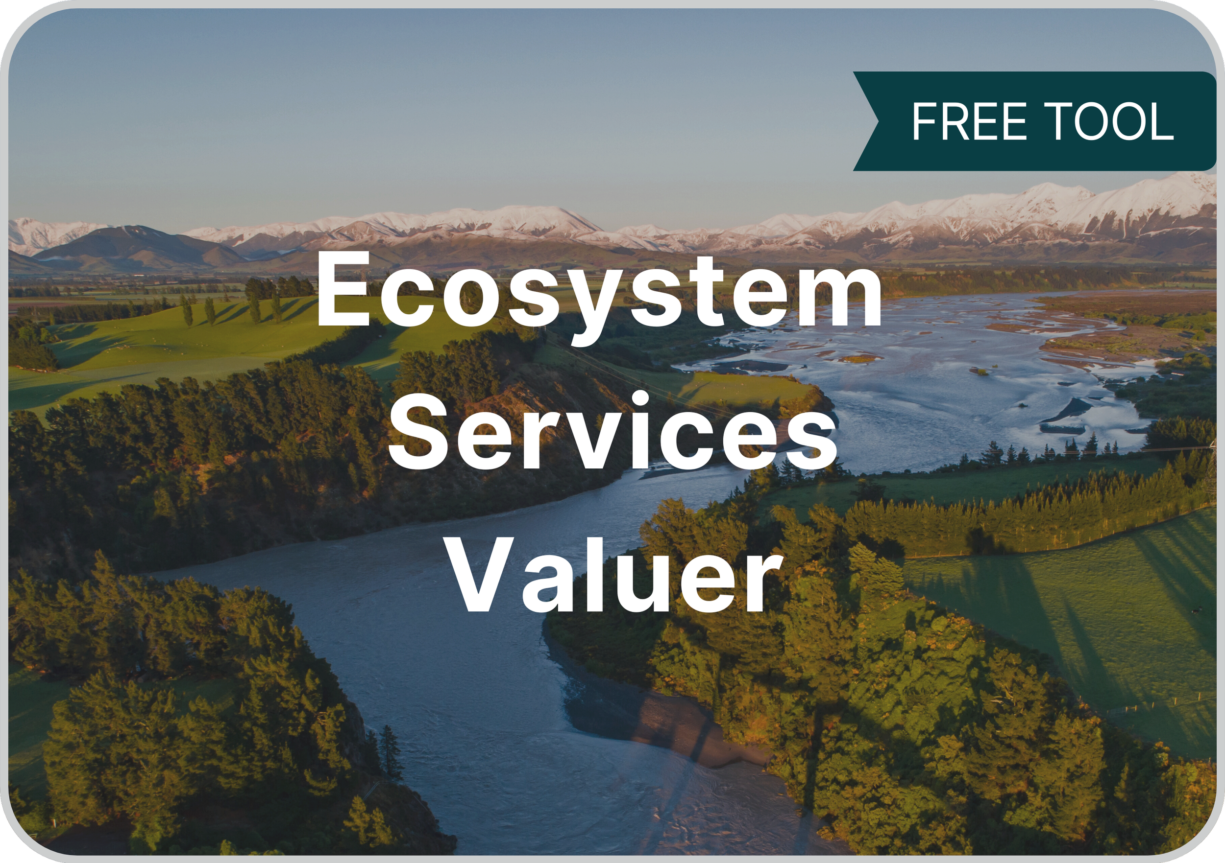
Estimate & communicate the value of nature for more informed decisions
-
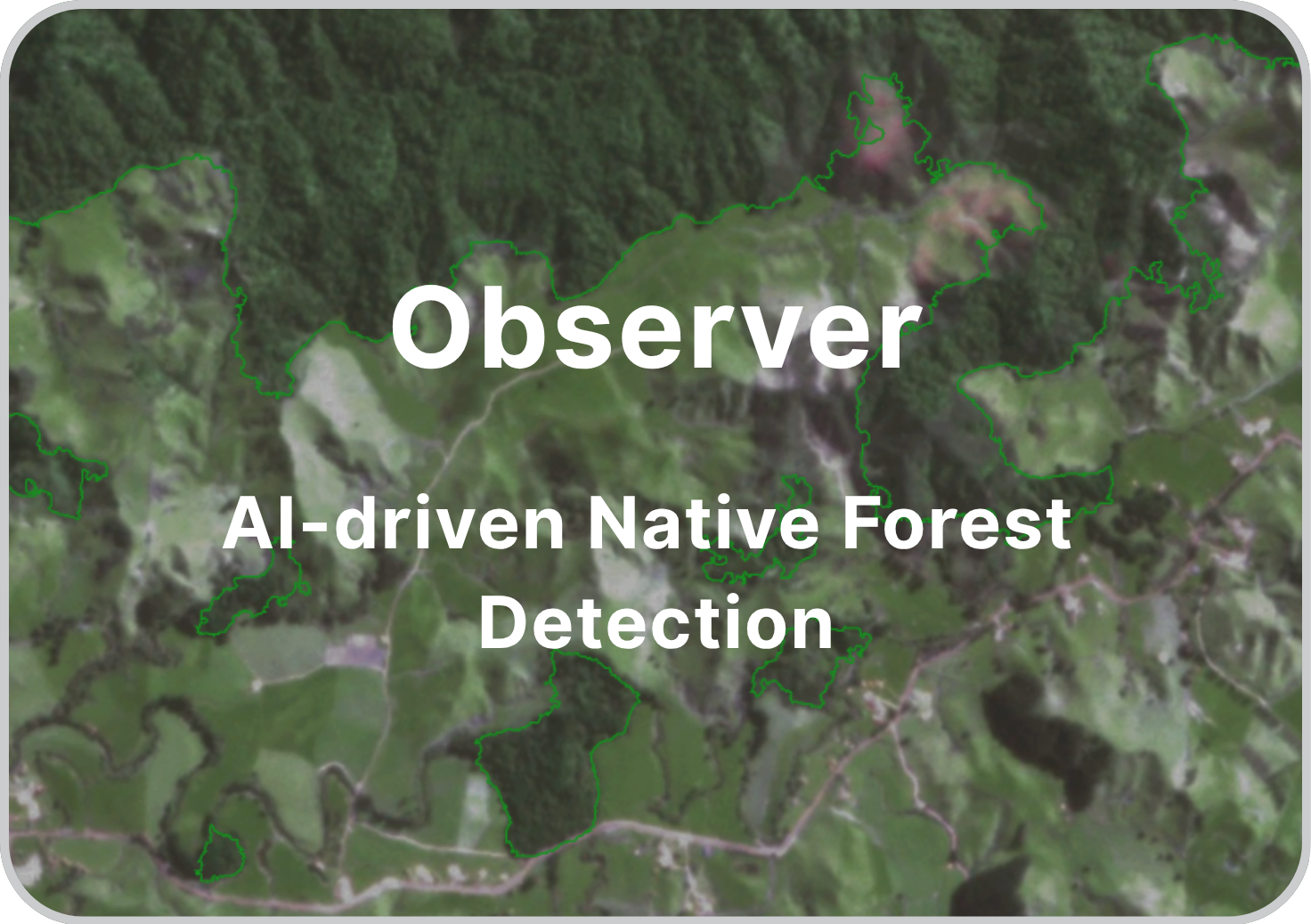
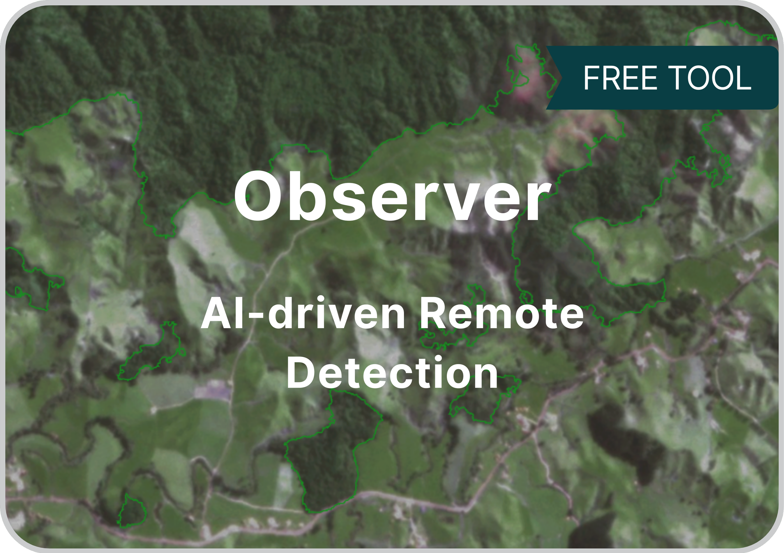
Remote detection of vegetation using satellite imagery
-
National-level data to support ecological restoration
-
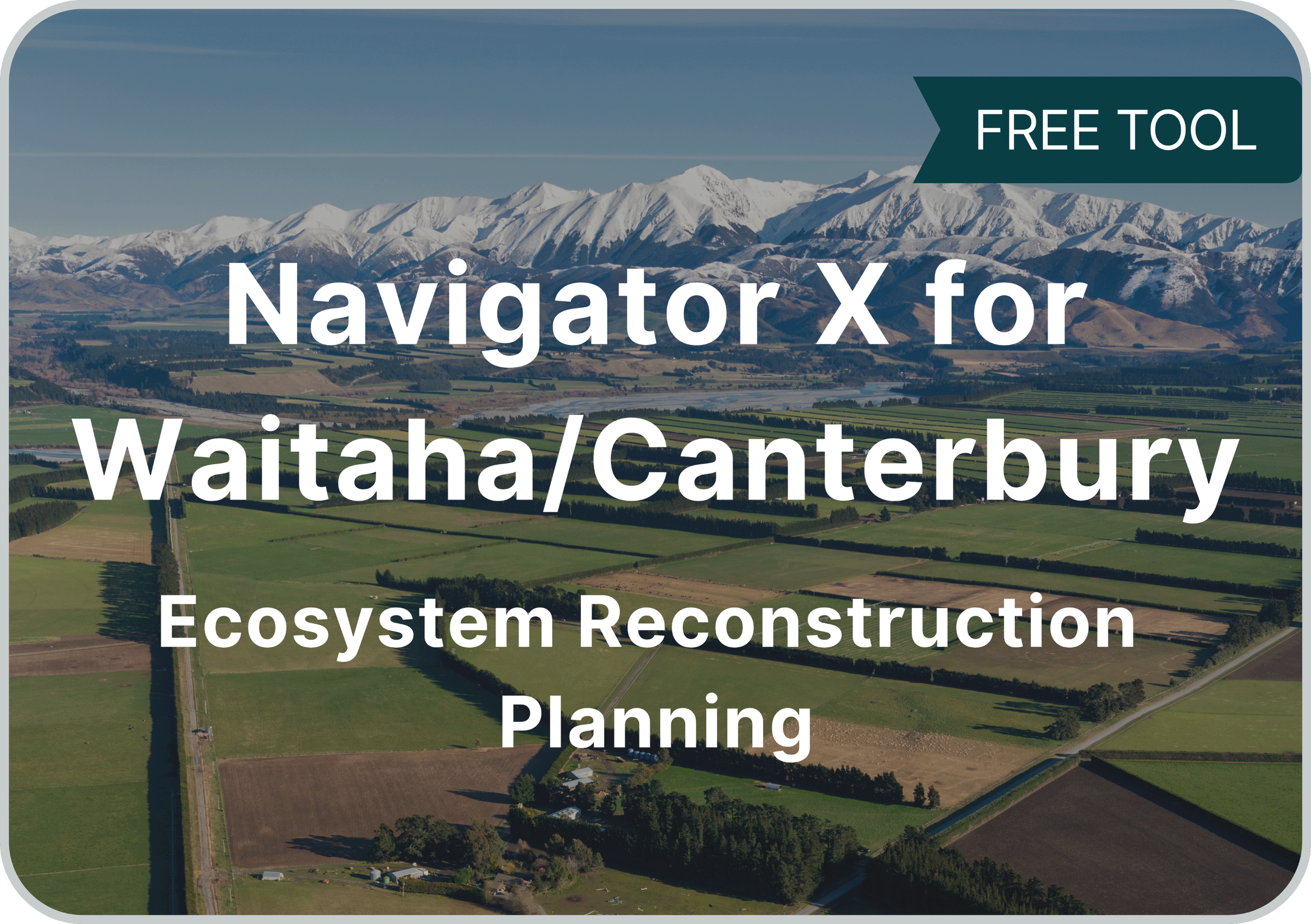
Find the best bang-for-buck locations for ecosystem reconstruction in Waitaha
-
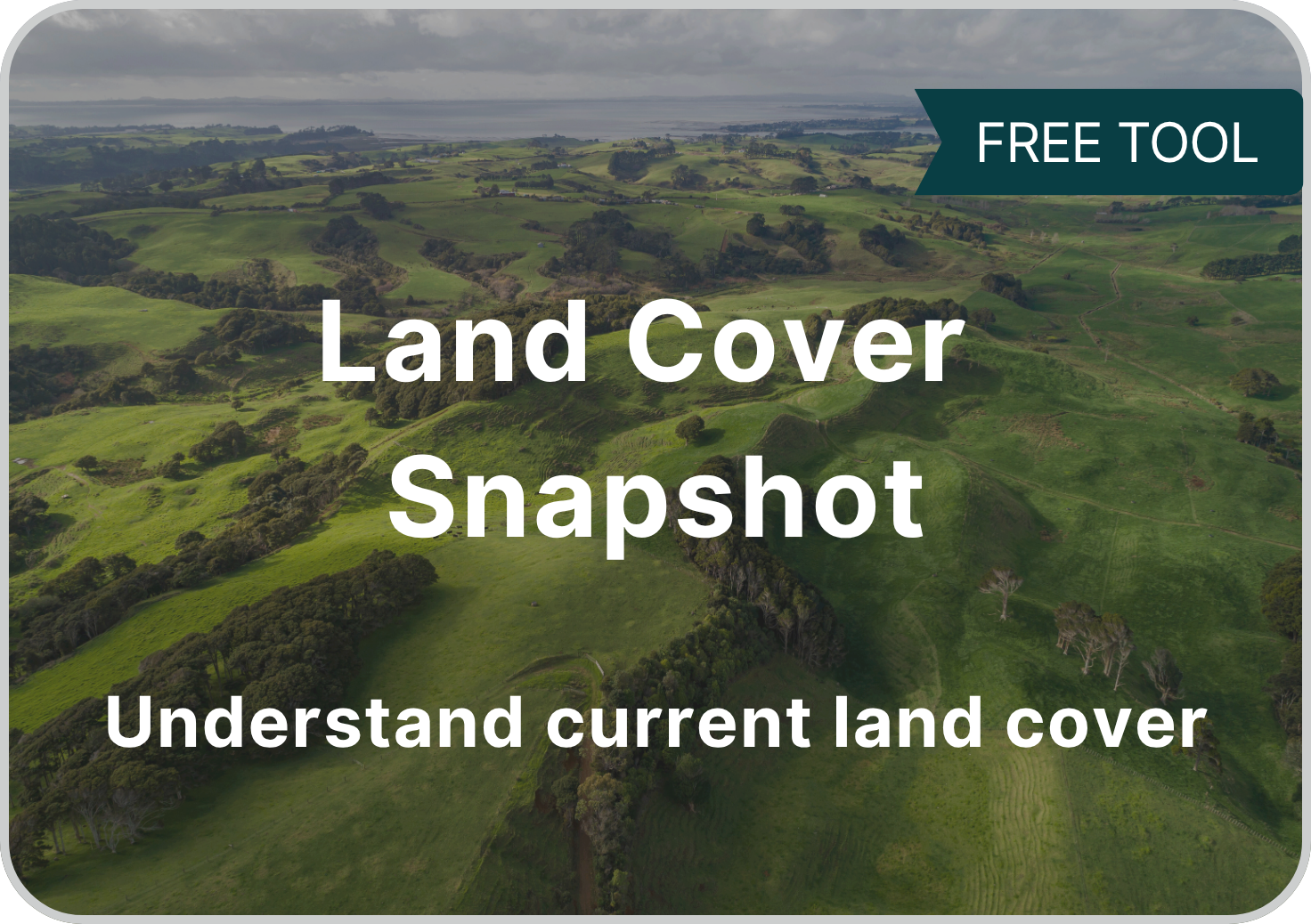
Explore current key land cover categories, based on LCDB v5.0
-
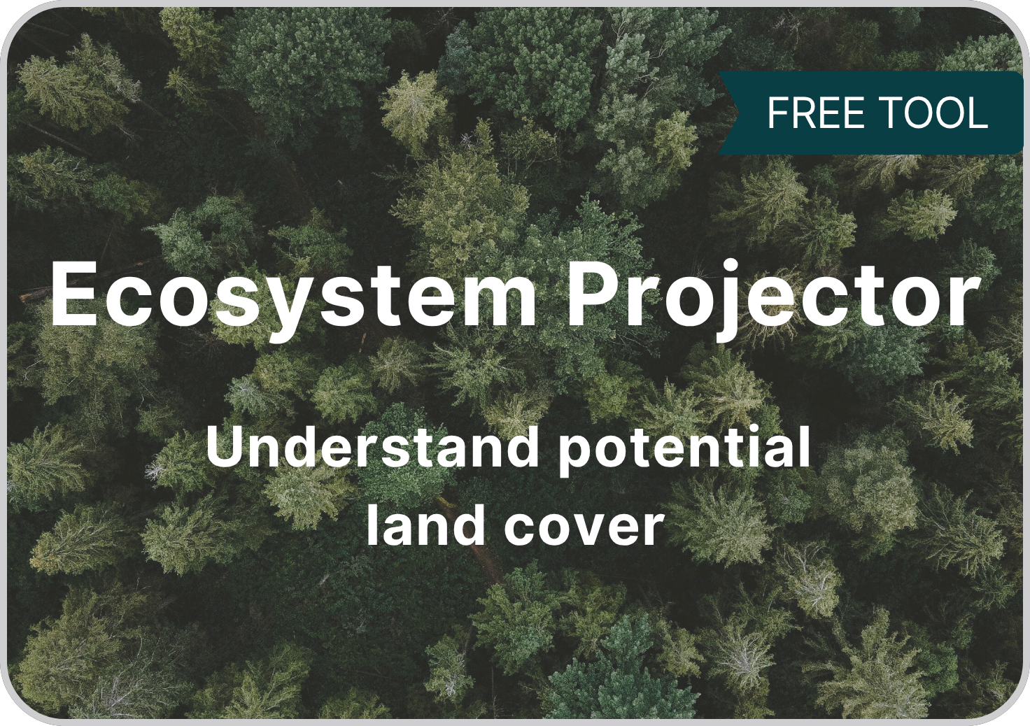
Find out which local native ecosystems are suitable for reconstruction
-
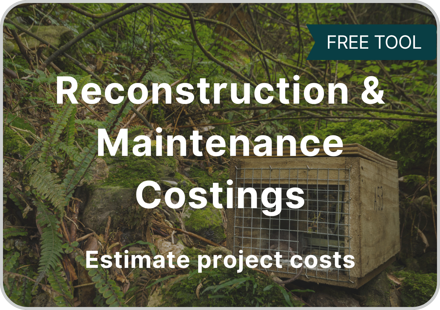
Gain clarity on the costs of ecosystem reconstruction and maintenance
-
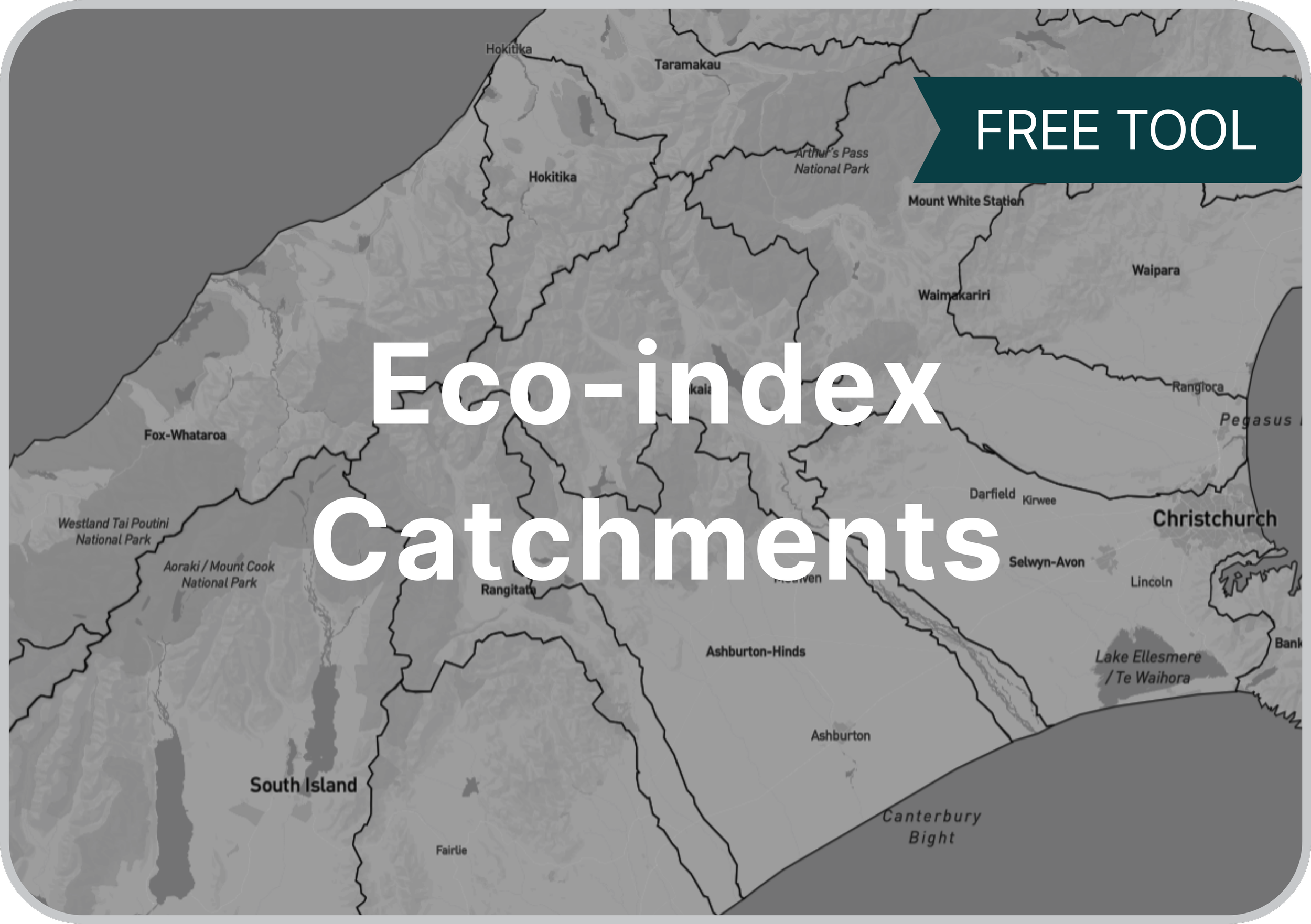
A clean, pragmatic catchment layer, based on MfE data
-
-

Discover which catchments are below 15% native ecosystem cover