Artificial Intelligence & Remote Sensing Tools
Native biodiversity of Aotearoa New Zealand is diverse and complex.
The tools currently used for ecological assessments cannot provide regular or comprehensive information about how biodiversity is faring across the country or how much effort is being put into restoration work.
A new approach is needed:

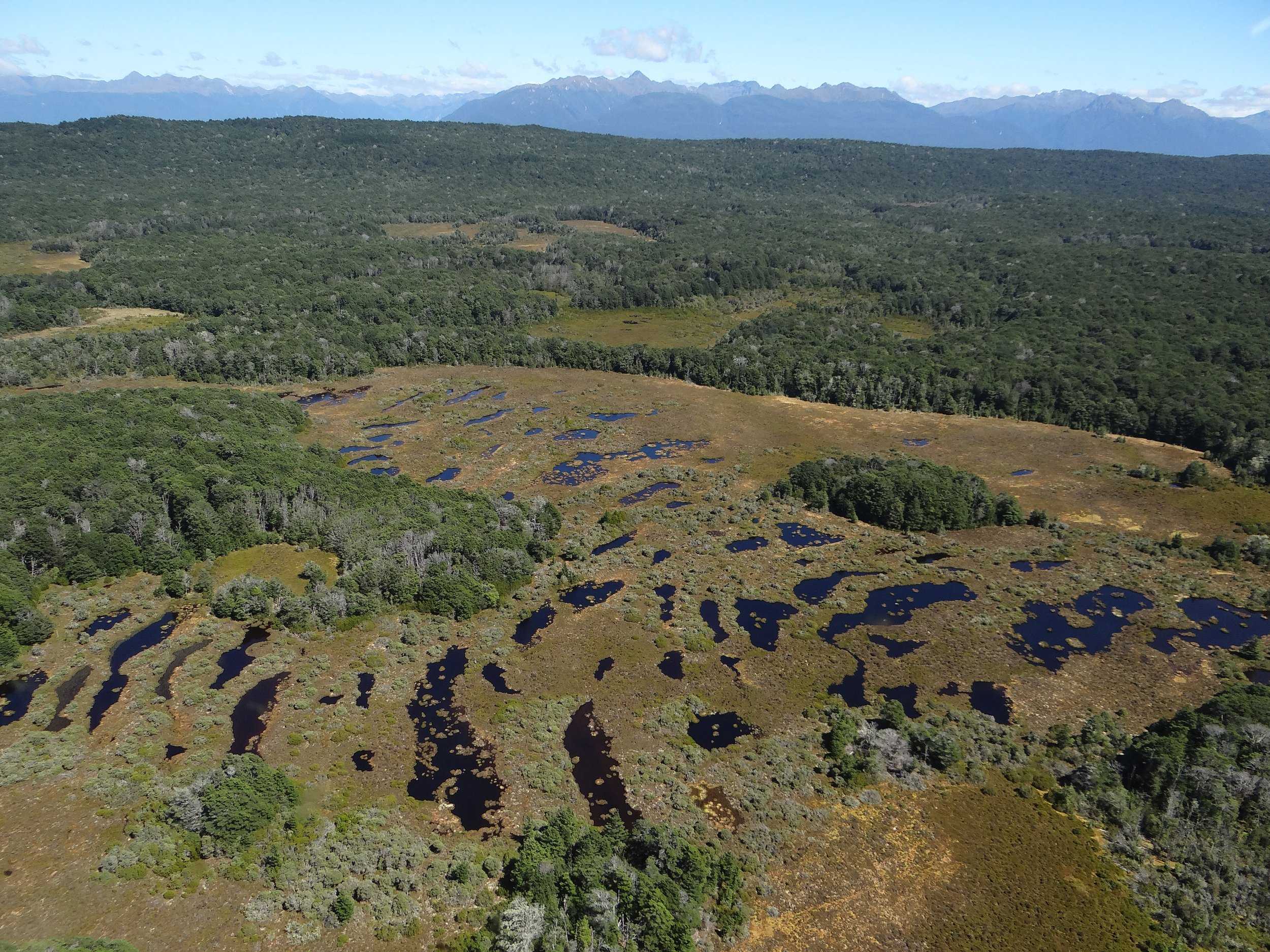
An indication of potential landscape AI analysis.
We are applying artificial intelligence tools to high resolution satellite and aerial imagery to understand where native ecosystems are and how they are changing over time. We are actively investing in this area to create and train algorithms that are cost and time efficient + produce reliable results.
These tools will be open source for the benefit of everyone while ensuring privacy and respecting data sovereignty.
Coming Soon: Wetland Detectors

Are you considering developing your own wetland detectors?
We are a publicly-funded research programme invested in producing digital public goods.
Our wetland detector algorithms are open source and will be available for free download in June 2024. High-resolution imagery will be required to run them but the overall cost will likely be less than algorithm development from scratch.
We will also offer an analytical service from August 2024, please get in touch (via form below) to learn more.

“Wherever land meets water,
life abounds”
- Musonda Mumba - Secretary General, Ramsar Convention
Wetlands provide remarkable natural benefits such as water quality improvement, flood risk reduction and biodiversity provision but they face a raft of threats that are continually eroding their chances of survival and ability to provide first-class ecosystem services.
Tell me more…
As part of the Eco-index digital toolkit, we are developing artificial intelligence remote sensing tools to detect wetlands across Aotearoa New Zealand. These detectors will help inform our understanding of the location, state and trend of wetland ecosystems - informing better wetland management and quantifying the good restoration work being done by many land managers.
Our detectors will be able to be used for any region and throughout the changing seasons. Our approach is underpinned by proven neural network methods and utilises a combination of high-resolution satellite imagery and frequently updated soil moisture data. We have built our detectors alongside wetland experts to ensure representation of the many different wetland types.
Watch “Sensing Wetlands” with Kevan Cote for more detail:

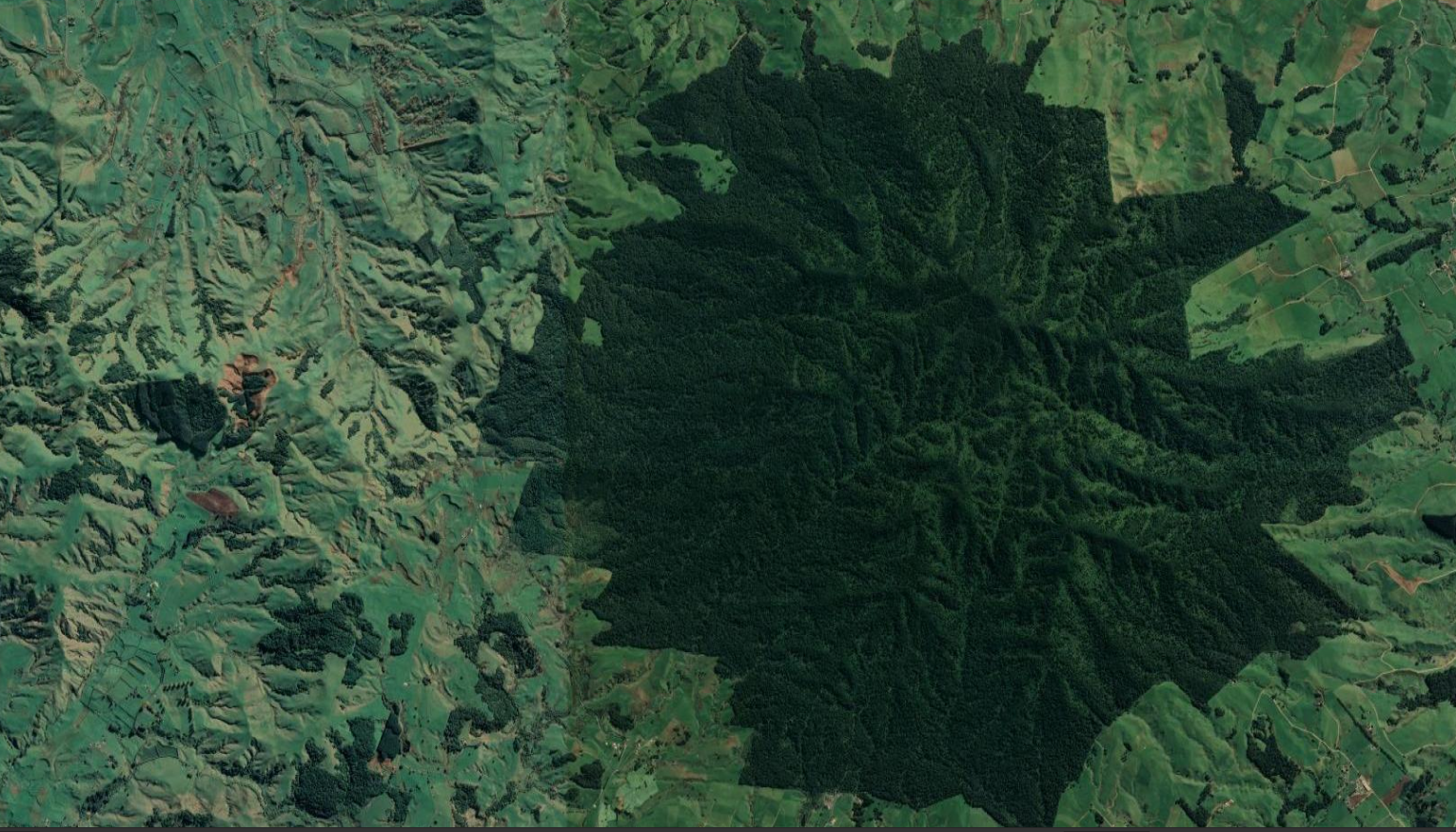
For more about biodiversity remote sensing…
Check out these articles from our partners at Planet Labs:
image courtesy of planet.com
Got questions? Get in touch: